Berengrave Local Nature Reserve, Rainham
Introduction
The photograph on this page of Berengrave Local Nature Reserve, Rainham by pam fray as part of the Geograph project.
The Geograph project started in 2005 with the aim of publishing, organising and preserving representative images for every square kilometre of Great Britain, Ireland and the Isle of Man.

There are currently over 7.5m images from over 14,400 individuals and you can help contribute to the project by visiting https://www.geograph.org.uk
Berengrave Local Nature Reserve, Rainham
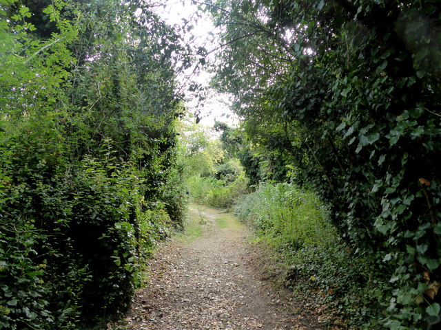
Image: © pam fray Taken: 27 Sep 2016
The east path by the southern entrance to the reserve. It is an area of approximately 15 hectares which is located between the River Medway and the northern edge of the residential area of Rainham, Kent. It forms part of the larger Riverside Country Park. The northern part of the reserve is the site of the old British Standard Cement Company’s works which was operational from 1912 until the Second World War, whilst the southern part is the site of the old Rainham chalk quarry which supplied chalk to the cement works.
Images are licensed for reuse under creativecommons.org/licenses/by-sa/2.0
Image Location
Latitude
51.372128
Longitude
0.611123