Dreybury Lane
Introduction
The photograph on this page of Dreybury Lane by Derek Harper as part of the Geograph project.
The Geograph project started in 2005 with the aim of publishing, organising and preserving representative images for every square kilometre of Great Britain, Ireland and the Isle of Man.

There are currently over 7.5m images from over 14,400 individuals and you can help contribute to the project by visiting https://www.geograph.org.uk
Dreybury Lane
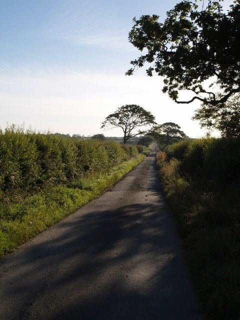
Image: © Derek Harper Taken: 31 Jul 2007
This no through road runs for well over two kilometres from Halwill Junction, eventually reaching Leasefield Farm. Here it dips a little to run past lakes at Anglers Paradise, to the left.
Images are licensed for reuse under creativecommons.org/licenses/by-sa/2.0
Image Location


Leaflet Map data © OpenStreetMap
Latitude
50.782942
Longitude
-4.195278