The Queen's Head, Kingsnorth
Introduction
The photograph on this page of The Queen's Head, Kingsnorth by Stefan Czapski as part of the Geograph project.
The Geograph project started in 2005 with the aim of publishing, organising and preserving representative images for every square kilometre of Great Britain, Ireland and the Isle of Man.

There are currently over 7.5m images from over 14,400 individuals and you can help contribute to the project by visiting https://www.geograph.org.uk
The Queen's Head, Kingsnorth
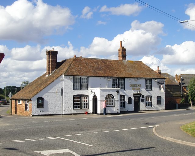
Image: © Stefan Czapski Taken: 25 Sep 2016
The building seems just as it was when John Baker was here in 1997 http://www.geograph.org.uk/photo/1571844 But other things have changed in the meantime - technology and the law on smoking. Moments before I took this photo there were three blokes out on the pavement having a smoke. I kept my camera out of sight until they'd gone back in. The gent in the check shirt looks as if he's come outside for a better signal rather than a ciggy. Incidentally, I didn't know there was a Kingsnorth here, south of Ashford - though I've known the one at the other end of the county (with its power station) for many years: http://www.geograph.org.uk/photo/4984726
Images are licensed for reuse under creativecommons.org/licenses/by-sa/2.0
Image Location
Latitude
51.118832
Longitude
0.858331