Aftermath of the dredging
Introduction
The photograph on this page of Aftermath of the dredging by Richard Hoare as part of the Geograph project.
The Geograph project started in 2005 with the aim of publishing, organising and preserving representative images for every square kilometre of Great Britain, Ireland and the Isle of Man.

There are currently over 7.5m images from over 14,400 individuals and you can help contribute to the project by visiting https://www.geograph.org.uk
Aftermath of the dredging
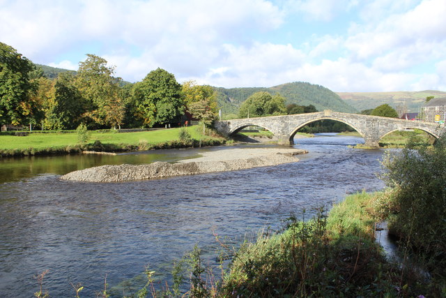
Image: © Richard Hoare Taken: 25 Sep 2016
Work continues - although today is Sunday and a rest day. Image] Image] The spoil has yet to be removed.
Images are licensed for reuse under creativecommons.org/licenses/by-sa/2.0
Image Location
Latitude
53.136721
Longitude
-3.7966