Tuckton: footpath I18 reaches the River Stour
Introduction
The photograph on this page of Tuckton: footpath I18 reaches the River Stour by Chris Downer as part of the Geograph project.
The Geograph project started in 2005 with the aim of publishing, organising and preserving representative images for every square kilometre of Great Britain, Ireland and the Isle of Man.

There are currently over 7.5m images from over 14,400 individuals and you can help contribute to the project by visiting https://www.geograph.org.uk
Tuckton: footpath I18 reaches the River Stour
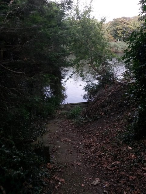
Image: © Chris Downer Taken: 24 Sep 2016
This short public footpath leads from the dead end of Riverside Lane to the riverbank, and - as can be seen here - there is no onward access alongside the river in either direction. See Image for the view up the path behind us, with links to further photos on the route.
Images are licensed for reuse under creativecommons.org/licenses/by-sa/2.0
Image Location
Latitude
50.729861
Longitude
-1.79096