Wick: footpath I29 leaves Ariel Drive
Introduction
The photograph on this page of Wick: footpath I29 leaves Ariel Drive by Chris Downer as part of the Geograph project.
The Geograph project started in 2005 with the aim of publishing, organising and preserving representative images for every square kilometre of Great Britain, Ireland and the Isle of Man.

There are currently over 7.5m images from over 14,400 individuals and you can help contribute to the project by visiting https://www.geograph.org.uk
Wick: footpath I29 leaves Ariel Drive
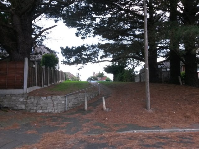
Image: © Chris Downer Taken: 24 Sep 2016
Looking up this short public footpath from the dead end of Ariel Drive - the path follows an extension of the course of Ariel Drive, up the little bank to Verwood Crescent. See Image for the view towards us from midway up the hill, and Image for a wider view from behind us.
Images are licensed for reuse under creativecommons.org/licenses/by-sa/2.0
Image Location
Latitude
50.726426
Longitude
-1.781058