Wick: footpath I29 descends to Ariel Drive
Introduction
The photograph on this page of Wick: footpath I29 descends to Ariel Drive by Chris Downer as part of the Geograph project.
The Geograph project started in 2005 with the aim of publishing, organising and preserving representative images for every square kilometre of Great Britain, Ireland and the Isle of Man.

There are currently over 7.5m images from over 14,400 individuals and you can help contribute to the project by visiting https://www.geograph.org.uk
Wick: footpath I29 descends to Ariel Drive
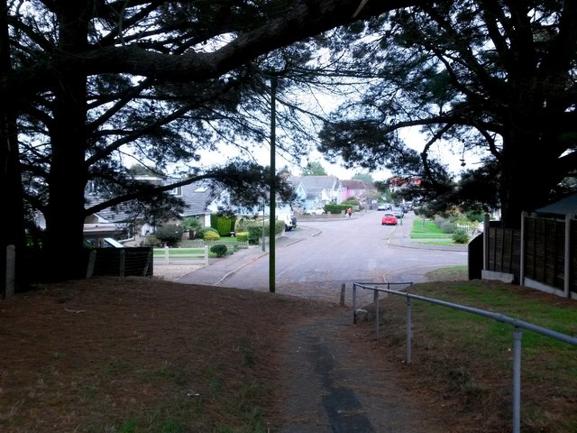
Image: © Chris Downer Taken: 24 Sep 2016
This short public footpath leads down from Verwood Crescent to the dead end of Ariel Drive, which we see just ahead. See Image for the view from behind us in Verwood Crescent, and Image for the uphill view from the road ahead.
Images are licensed for reuse under creativecommons.org/licenses/by-sa/2.0
Image Location
Latitude
50.726426
Longitude
-1.781058