The Old Granary/The Old Cottage, Worthing Road, Dial Post
Introduction
The photograph on this page of The Old Granary/The Old Cottage, Worthing Road, Dial Post by Simon Carey as part of the Geograph project.
The Geograph project started in 2005 with the aim of publishing, organising and preserving representative images for every square kilometre of Great Britain, Ireland and the Isle of Man.

There are currently over 7.5m images from over 14,400 individuals and you can help contribute to the project by visiting https://www.geograph.org.uk
The Old Granary/The Old Cottage, Worthing Road, Dial Post
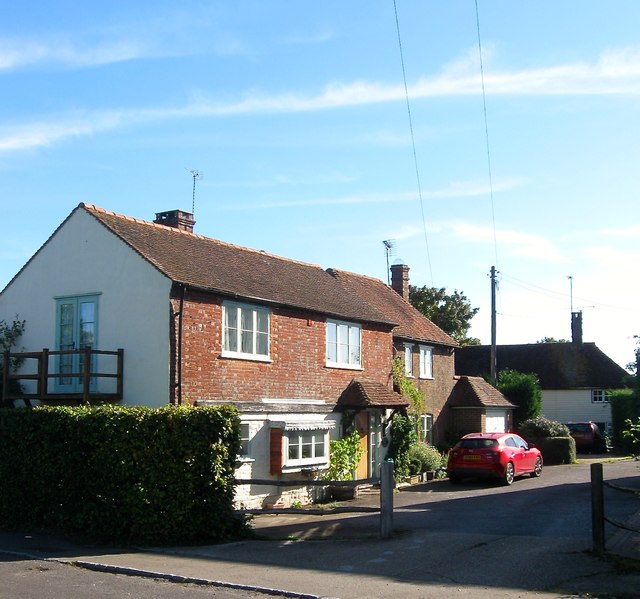
Image: © Simon Carey Taken: 23 Sep 2016
The Old Granary is to the left and appears to have been a former barn called Rose cottage on the 1974 OS map. The Old Cottage is the weatherboarded property at the end of the drive and has been converted into two dwellings.
Images are licensed for reuse under creativecommons.org/licenses/by-sa/2.0
Image Location
Latitude
50.963266
Longitude
-0.356661