Wick: bridleway I28 emerges onto Thornbury Road
Introduction
The photograph on this page of Wick: bridleway I28 emerges onto Thornbury Road by Chris Downer as part of the Geograph project.
The Geograph project started in 2005 with the aim of publishing, organising and preserving representative images for every square kilometre of Great Britain, Ireland and the Isle of Man.

There are currently over 7.5m images from over 14,400 individuals and you can help contribute to the project by visiting https://www.geograph.org.uk
Wick: bridleway I28 emerges onto Thornbury Road
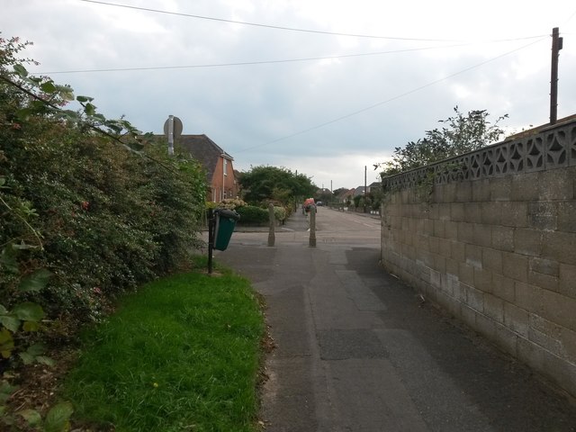
Image: © Chris Downer Taken: 24 Sep 2016
Looking along the southern end of this short public bridleway from Branders Close, as it arrives onto Thornbury Road. Belfield Road is directly opposite - well, a yard or two off-straight. See Image] for the view towards us from the end of the bridleway, and Image for the next view on the path behind us, with links to further pictures along the route.
Images are licensed for reuse under creativecommons.org/licenses/by-sa/2.0
Image Location
Latitude
50.726251
Longitude
-1.784034