Secret Park
Introduction
The photograph on this page of Secret Park by Marathon as part of the Geograph project.
The Geograph project started in 2005 with the aim of publishing, organising and preserving representative images for every square kilometre of Great Britain, Ireland and the Isle of Man.

There are currently over 7.5m images from over 14,400 individuals and you can help contribute to the project by visiting https://www.geograph.org.uk
Secret Park
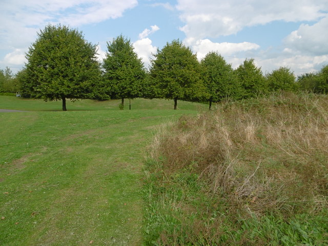
Image: © Marathon Taken: 21 Sep 2016
According to Google Earth Secret Park is its name. To the east is Friern Barnet Retail Park, to the south is the North Circular Road, while to the west and north is housing. It is possible to follow footpaths from New Southgate station but they are not signposted, so possibly only those living nearby know the park is here.
Images are licensed for reuse under creativecommons.org/licenses/by-sa/2.0
Image Location
Latitude
51.610452
Longitude
-0.144776