Mill Pond at New Abbey
Introduction
The photograph on this page of Mill Pond at New Abbey by Mary and Angus Hogg as part of the Geograph project.
The Geograph project started in 2005 with the aim of publishing, organising and preserving representative images for every square kilometre of Great Britain, Ireland and the Isle of Man.

There are currently over 7.5m images from over 14,400 individuals and you can help contribute to the project by visiting https://www.geograph.org.uk
Mill Pond at New Abbey
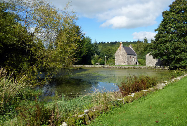
Image: © Mary and Angus Hogg Taken: 19 Sep 2016
The mill pond was created as a reservoir for the historic water-driven corn mill. It is fed from Loch Kindar and has an outflow on the far side, creating another low-level pond. The buildings shown in the background of this view are not part of the mill.
Images are licensed for reuse under creativecommons.org/licenses/by-sa/2.0
Image Location
Latitude
54.979546
Longitude
-3.623875