Clay Lane, Durham
Introduction
The photograph on this page of Clay Lane, Durham by David Hawgood as part of the Geograph project.
The Geograph project started in 2005 with the aim of publishing, organising and preserving representative images for every square kilometre of Great Britain, Ireland and the Isle of Man.

There are currently over 7.5m images from over 14,400 individuals and you can help contribute to the project by visiting https://www.geograph.org.uk
Clay Lane, Durham
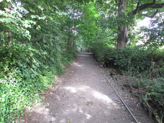
Image: © David Hawgood Taken: 11 Sep 2016
This part of the lane is a public footpath which continues beside Durham School playing fields and across pasture down to Quarryheads Lane.
Images are licensed for reuse under creativecommons.org/licenses/by-sa/2.0
Image Location
Latitude
54.76836
Longitude
-1.58886