A4 Portway at Shirehampton
Introduction
The photograph on this page of A4 Portway at Shirehampton by Jonathan Billinger as part of the Geograph project.
The Geograph project started in 2005 with the aim of publishing, organising and preserving representative images for every square kilometre of Great Britain, Ireland and the Isle of Man.

There are currently over 7.5m images from over 14,400 individuals and you can help contribute to the project by visiting https://www.geograph.org.uk
A4 Portway at Shirehampton
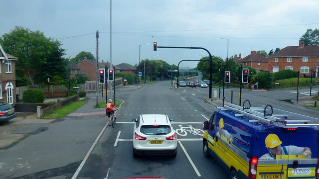
Image: © Jonathan Billinger Taken: 13 Sep 2016
The Hung Road crossroads. 'Hung' refers to the practice of tying up vessels by the tidal Avon to keep them upright when the tide was low.
Images are licensed for reuse under creativecommons.org/licenses/by-sa/2.0
Image Location
Latitude
51.485045
Longitude
-2.676967