BP Canniesburn and Cluny Park
Introduction
The photograph on this page of BP Canniesburn and Cluny Park by Richard Sutcliffe as part of the Geograph project.
The Geograph project started in 2005 with the aim of publishing, organising and preserving representative images for every square kilometre of Great Britain, Ireland and the Isle of Man.

There are currently over 7.5m images from over 14,400 individuals and you can help contribute to the project by visiting https://www.geograph.org.uk
BP Canniesburn and Cluny Park
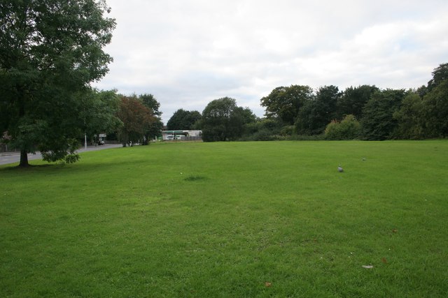
Image: © Richard Sutcliffe Taken: 19 Sep 2016
The A81 runs past the BP filling station at Canniesburn. This park of Cluny Park consists of amenity grassland. A couple of wood pigeons are walking about on the grass.
Images are licensed for reuse under creativecommons.org/licenses/by-sa/2.0
Image Location
Latitude
55.909578
Longitude
-4.320126