Denison Street, Beeston
Introduction
The photograph on this page of Denison Street, Beeston by Alan Murray-Rust as part of the Geograph project.
The Geograph project started in 2005 with the aim of publishing, organising and preserving representative images for every square kilometre of Great Britain, Ireland and the Isle of Man.

There are currently over 7.5m images from over 14,400 individuals and you can help contribute to the project by visiting https://www.geograph.org.uk
Denison Street, Beeston
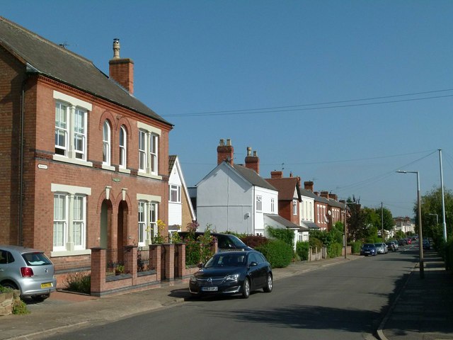
Image: © Alan Murray-Rust Taken: 18 Sep 2016
Part of the grid of streets to the west of Wollaton Road developed around 1900. OS maps of the 1880s show the street layout existing, but no houses yet built, the area being named Bellevue Park. By the 1901 edition, houses have appeared in dribs and drabs, including most of these. The nearest pair have a distinctive cast iron street name plate http://www.geograph.org.uk/photo/5122742 .
Images are licensed for reuse under creativecommons.org/licenses/by-sa/2.0
Image Location
Latitude
52.928509
Longitude
-1.22507