Swain's Rough
Introduction
The photograph on this page of Swain's Rough by Simon Carey as part of the Geograph project.
The Geograph project started in 2005 with the aim of publishing, organising and preserving representative images for every square kilometre of Great Britain, Ireland and the Isle of Man.

There are currently over 7.5m images from over 14,400 individuals and you can help contribute to the project by visiting https://www.geograph.org.uk
Swain's Rough
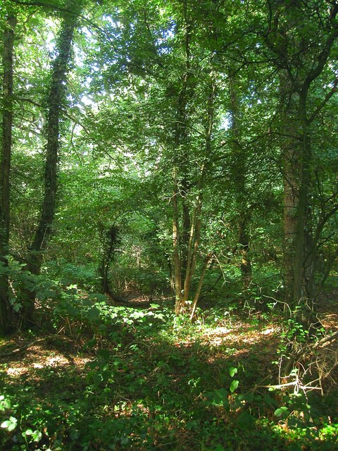
Image: © Simon Carey Taken: 18 Sep 2016
A wood located on the western side of Littleworth Lane which was known as Swains Plantations on West Grinstead's 1841 tithe map and included Image to the north. To the south is Image
Images are licensed for reuse under creativecommons.org/licenses/by-sa/2.0
Image Location


Leaflet Map data © OpenStreetMap
Latitude
50.980906
Longitude
-0.301048