Clifton Ings: path and flood defence
Introduction
The photograph on this page of Clifton Ings: path and flood defence by Richard Webb as part of the Geograph project.
The Geograph project started in 2005 with the aim of publishing, organising and preserving representative images for every square kilometre of Great Britain, Ireland and the Isle of Man.

There are currently over 7.5m images from over 14,400 individuals and you can help contribute to the project by visiting https://www.geograph.org.uk
Clifton Ings: path and flood defence
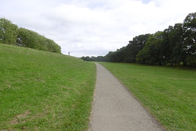
Image: © Richard Webb Taken: 11 Aug 2016
Route 65 passes under an earth wall on the way into York city centre.
Images are licensed for reuse under creativecommons.org/licenses/by-sa/2.0
Image Location
Latitude
53.975307
Longitude
-1.116743