Burial ground and farm
Introduction
The photograph on this page of Burial ground and farm by Jonathan Wilkins as part of the Geograph project.
The Geograph project started in 2005 with the aim of publishing, organising and preserving representative images for every square kilometre of Great Britain, Ireland and the Isle of Man.

There are currently over 7.5m images from over 14,400 individuals and you can help contribute to the project by visiting https://www.geograph.org.uk
Burial ground and farm
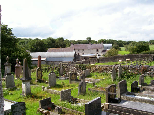
Image: © Jonathan Wilkins Taken: 22 Jul 2007
The view over the chapel burial ground takes in the nearby farm, where the afternoon milk collection is in progress.
Images are licensed for reuse under creativecommons.org/licenses/by-sa/2.0
Image Location
Latitude
51.914083
Longitude
-3.951372