Footpath on a forestry track in Graffridge Wood
Introduction
The photograph on this page of Footpath on a forestry track in Graffridge Wood by Humphrey Bolton as part of the Geograph project.
The Geograph project started in 2005 with the aim of publishing, organising and preserving representative images for every square kilometre of Great Britain, Ireland and the Isle of Man.

There are currently over 7.5m images from over 14,400 individuals and you can help contribute to the project by visiting https://www.geograph.org.uk
Footpath on a forestry track in Graffridge Wood
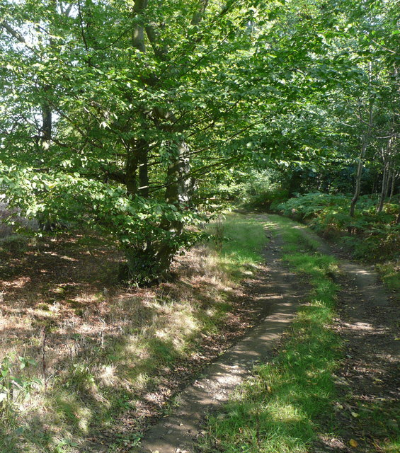
Image: © Humphrey Bolton Taken: 13 Sep 2016
To the west of this point and to the north of the path there is a Roman-era barrow ('tumulus' on the map).
Images are licensed for reuse under creativecommons.org/licenses/by-sa/2.0
Image Location
Latitude
51.873813
Longitude
-0.230997