St Ninian's Square, Brechin
Introduction
The photograph on this page of St Ninian's Square, Brechin by Stanley Howe as part of the Geograph project.
The Geograph project started in 2005 with the aim of publishing, organising and preserving representative images for every square kilometre of Great Britain, Ireland and the Isle of Man.

There are currently over 7.5m images from over 14,400 individuals and you can help contribute to the project by visiting https://www.geograph.org.uk
St Ninian's Square, Brechin
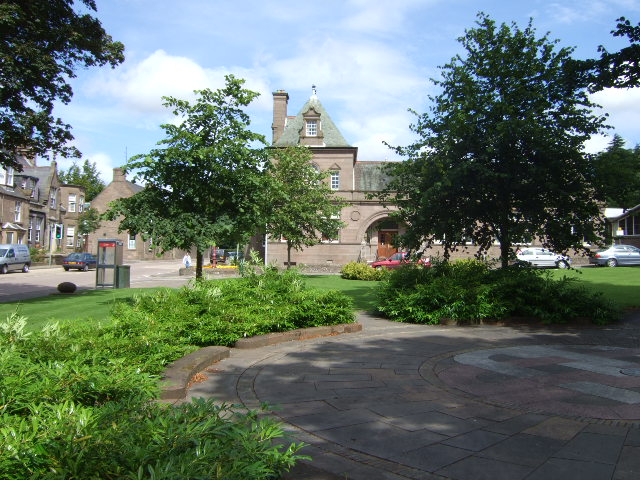
Image: © Stanley Howe Taken: 31 Jul 2007
The square is laid out in the form of a Saltire, with a Celtic Knot in the centre. Behind can be seen the Public Library cum Museum.
Images are licensed for reuse under creativecommons.org/licenses/by-sa/2.0
Image Location
Latitude
56.732277
Longitude
-2.654229