Village street
Introduction
The photograph on this page of Village street by Bob Harvey as part of the Geograph project.
The Geograph project started in 2005 with the aim of publishing, organising and preserving representative images for every square kilometre of Great Britain, Ireland and the Isle of Man.

There are currently over 7.5m images from over 14,400 individuals and you can help contribute to the project by visiting https://www.geograph.org.uk
Village street
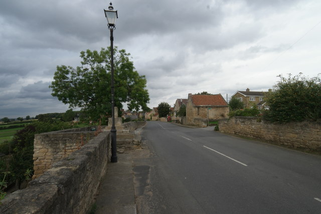
Image: © Bob Harvey Taken: 9 Sep 2016
The buttercross is on the left. I am not at all sure what the road name is here. it might be "Elmsall Lane" or it might not. The map associated with the National Heritage List give it as "Main Street" but no other mapping sites name it at all.
Images are licensed for reuse under creativecommons.org/licenses/by-sa/2.0
Image Location
Latitude
53.567181
Longitude
-1.268259