Moor Farm, Bramcote
Introduction
The photograph on this page of Moor Farm, Bramcote by Tom Courtney as part of the Geograph project.
The Geograph project started in 2005 with the aim of publishing, organising and preserving representative images for every square kilometre of Great Britain, Ireland and the Isle of Man.

There are currently over 7.5m images from over 14,400 individuals and you can help contribute to the project by visiting https://www.geograph.org.uk
Moor Farm, Bramcote
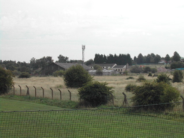
Image: © Tom Courtney Taken: 9 Sep 2005
From about 1971 this was a public house called the "Moor Farm Inn" until its closure a few years ago. The Bramcote Hills school buildings are in the trees on the hill to the right and a corner of the school playing field is in the foreground.
Images are licensed for reuse under creativecommons.org/licenses/by-sa/2.0
Image Location
Latitude
52.945556
Longitude
-1.247982