The National Byway runs through South Cheriton
Introduction
The photograph on this page of The National Byway runs through South Cheriton by Neil Owen as part of the Geograph project.
The Geograph project started in 2005 with the aim of publishing, organising and preserving representative images for every square kilometre of Great Britain, Ireland and the Isle of Man.

There are currently over 7.5m images from over 14,400 individuals and you can help contribute to the project by visiting https://www.geograph.org.uk
The National Byway runs through South Cheriton
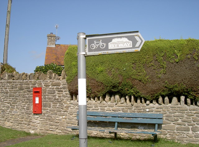
Image: © Neil Owen Taken: 14 Sep 2016
Although the brown colouration appears to have lost some of its richness, the route is part of the extensive project to allow cyclists to enjoy the countryside.
Images are licensed for reuse under creativecommons.org/licenses/by-sa/2.0
Image Location
Latitude
51.021026
Longitude
-2.439072