Manor Drive, Woodchester
Introduction
The photograph on this page of Manor Drive, Woodchester by Jaggery as part of the Geograph project.
The Geograph project started in 2005 with the aim of publishing, organising and preserving representative images for every square kilometre of Great Britain, Ireland and the Isle of Man.

There are currently over 7.5m images from over 14,400 individuals and you can help contribute to the project by visiting https://www.geograph.org.uk
Manor Drive, Woodchester
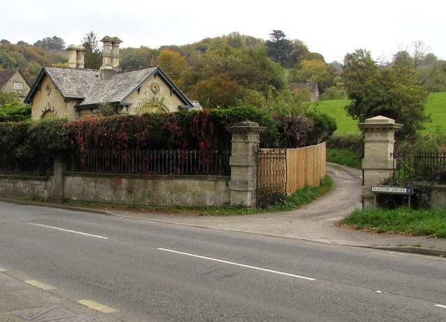
Image: © Jaggery Taken: 18 Oct 2015
The western end of a long dead-end road viewed across the A46 Bath Road. Grade II listed Grey Gables http://www.geograph.org.uk/photo/5117928 is on the left.
Images are licensed for reuse under creativecommons.org/licenses/by-sa/2.0
Image Location
Latitude
51.72055
Longitude
-2.22911