Broad Street
Introduction
The photograph on this page of Broad Street by Ian Capper as part of the Geograph project.
The Geograph project started in 2005 with the aim of publishing, organising and preserving representative images for every square kilometre of Great Britain, Ireland and the Isle of Man.

There are currently over 7.5m images from over 14,400 individuals and you can help contribute to the project by visiting https://www.geograph.org.uk
Broad Street
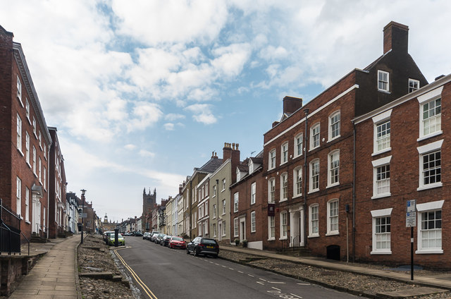
Image: © Ian Capper Taken: 12 Jul 2015
Looking up Broad Street from just above Broad Gate. The large house on the right is no 31 Broad Street, dating from the late 18th Century. Grade II listed - see https://www.historicengland.org.uk/listing/the-list/list-entry/1202805.
Images are licensed for reuse under creativecommons.org/licenses/by-sa/2.0
Image Location
Latitude
52.365835
Longitude
-2.718141