Carpenters Arms
Introduction
The photograph on this page of Carpenters Arms by Duncan and Gareth Alderson as part of the Geograph project.
The Geograph project started in 2005 with the aim of publishing, organising and preserving representative images for every square kilometre of Great Britain, Ireland and the Isle of Man.

There are currently over 7.5m images from over 14,400 individuals and you can help contribute to the project by visiting https://www.geograph.org.uk
Carpenters Arms
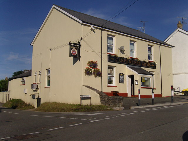
Image: © Duncan and Gareth Alderson Taken: 31 Jul 2007
The only public house in the centre of the village. The Ship Inn featured elsewhere is in a more rural setting. The road to Pentyrch is on the right and that to Church Village on the left.
Images are licensed for reuse under creativecommons.org/licenses/by-sa/2.0
Image Location
Latitude
51.551263
Longitude
-3.317459