Looking southwest along Mongeham Road
Introduction
The photograph on this page of Looking southwest along Mongeham Road by John Baker as part of the Geograph project.
The Geograph project started in 2005 with the aim of publishing, organising and preserving representative images for every square kilometre of Great Britain, Ireland and the Isle of Man.

There are currently over 7.5m images from over 14,400 individuals and you can help contribute to the project by visiting https://www.geograph.org.uk
Looking southwest along Mongeham Road
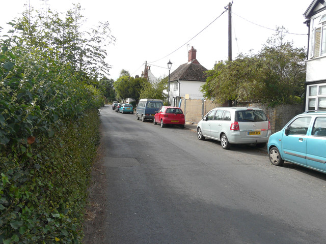
Image: © John Baker Taken: 4 Sep 2016
The view shows where an existing stable block is being converted. Planning permission has been granted by Dover District Council under application number DOV/11/01141 for the “conversion of existing stable block into annexe accommodation, incorporating a pitched roof and other external alterations and the erection of an outbuilding for a hobby room and garage (following the demolition of an existing timber barn)”. The building forms a part of the property known as Champlains Well.
Images are licensed for reuse under creativecommons.org/licenses/by-sa/2.0
Image Location
Latitude
51.213682
Longitude
1.363584