Church Farm, East Stour
Introduction
The photograph on this page of Church Farm, East Stour by Derek Harper as part of the Geograph project.
The Geograph project started in 2005 with the aim of publishing, organising and preserving representative images for every square kilometre of Great Britain, Ireland and the Isle of Man.

There are currently over 7.5m images from over 14,400 individuals and you can help contribute to the project by visiting https://www.geograph.org.uk
Church Farm, East Stour
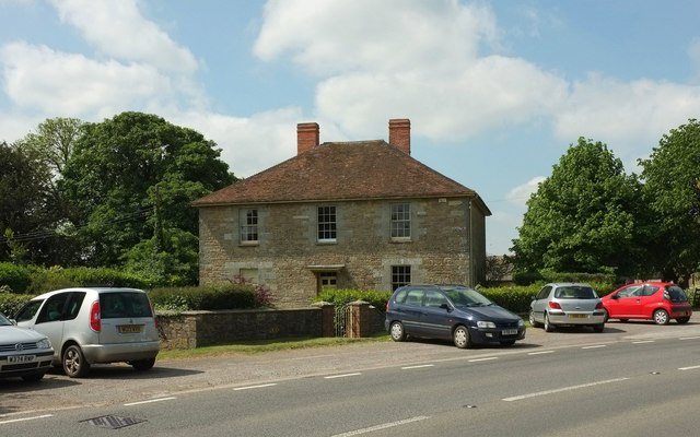
Image: © Derek Harper Taken: 26 May 2016
The facade of the listed farmhouse https://www.historicengland.org.uk/listing/the-list/list-entry/1110456 seen from the churchyard in Image], looking across the A30.
Images are licensed for reuse under creativecommons.org/licenses/by-sa/2.0
Image Location
Latitude
51.004769
Longitude
-2.288842