River Trent floodbank at Keadby
Introduction
The photograph on this page of River Trent floodbank at Keadby by Mat Fascione as part of the Geograph project.
The Geograph project started in 2005 with the aim of publishing, organising and preserving representative images for every square kilometre of Great Britain, Ireland and the Isle of Man.

There are currently over 7.5m images from over 14,400 individuals and you can help contribute to the project by visiting https://www.geograph.org.uk
River Trent floodbank at Keadby
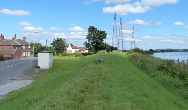
Image: © Mat Fascione Taken: 29 Aug 2016
The River Trent is the third-longest river in the United Kingdom, it is 298 kilometres (185 miles) in length. It rises at Biddulph Moor in Staffordshire. Its mouth is where it joins the Humber Estuary at Trent Falls, on the Lincolnshire and East Yorkshire county boundary.
Images are licensed for reuse under creativecommons.org/licenses/by-sa/2.0
Image Location
Latitude
53.597383
Longitude
-0.739173