James Leech Street, Stockport
Introduction
The photograph on this page of James Leech Street, Stockport by Jaggery as part of the Geograph project.
The Geograph project started in 2005 with the aim of publishing, organising and preserving representative images for every square kilometre of Great Britain, Ireland and the Isle of Man.

There are currently over 7.5m images from over 14,400 individuals and you can help contribute to the project by visiting https://www.geograph.org.uk
James Leech Street, Stockport
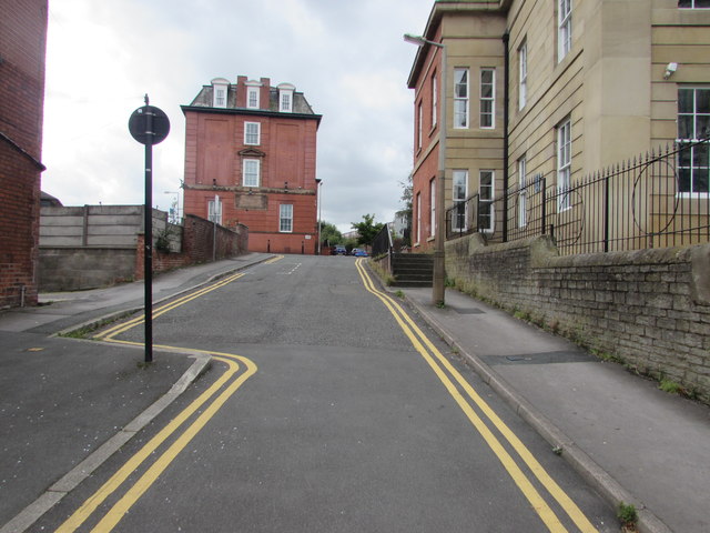
Image: © Jaggery Taken: 10 Sep 2016
James Leech Street ascends from the A6 Wellington Road South towards Frances Street and Thomson Street. Double yellow lines on both sides indicate no parking at any time. The southern edge of the Grade II listed former Stockport Infirmary http://www.geograph.org.uk/photo/5112810 is on the right.
Images are licensed for reuse under creativecommons.org/licenses/by-sa/2.0
Image Location
Latitude
53.405272
Longitude
-2.159703