The former Crown and Anchor public house
Introduction
The photograph on this page of The former Crown and Anchor public house by Richard Law as part of the Geograph project.
The Geograph project started in 2005 with the aim of publishing, organising and preserving representative images for every square kilometre of Great Britain, Ireland and the Isle of Man.

There are currently over 7.5m images from over 14,400 individuals and you can help contribute to the project by visiting https://www.geograph.org.uk
The former Crown and Anchor public house
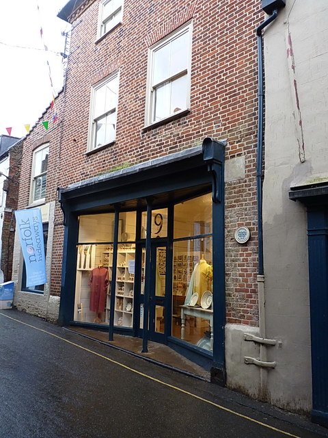
Image: © Richard Law Taken: 27 Aug 2016
The plaque on the wall, erected by the local History Group, records that this building was the Crown & Anchor pub between 1798 and 1856. Closing time has long since passed.
Images are licensed for reuse under creativecommons.org/licenses/by-sa/2.0
Image Location
Latitude
52.956238
Longitude
0.851948