Wolfreton School
Introduction
The photograph on this page of Wolfreton School by Paul Glazzard as part of the Geograph project.
The Geograph project started in 2005 with the aim of publishing, organising and preserving representative images for every square kilometre of Great Britain, Ireland and the Isle of Man.

There are currently over 7.5m images from over 14,400 individuals and you can help contribute to the project by visiting https://www.geograph.org.uk
Wolfreton School
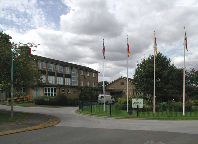
Image: © Paul Glazzard Taken: 30 Jul 2007
Off the north side of Carr Lane, Willerby. According to the school's website, "Wolfreton is the largest 11-18 community secondary school in the East Riding of Yorkshire LEA with 2100 pupils on roll". http://www.wolfreton.co.uk/
Images are licensed for reuse under creativecommons.org/licenses/by-sa/2.0
Image Location
Latitude
53.75866
Longitude
-0.442497