Haggs House Farm
Introduction
The photograph on this page of Haggs House Farm by Paul Glazzard as part of the Geograph project.
The Geograph project started in 2005 with the aim of publishing, organising and preserving representative images for every square kilometre of Great Britain, Ireland and the Isle of Man.

There are currently over 7.5m images from over 14,400 individuals and you can help contribute to the project by visiting https://www.geograph.org.uk
Haggs House Farm
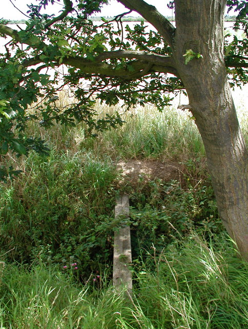
Image: © Paul Glazzard Taken: 30 Jul 2007
Single plank footbridge crossing a drain under a small oak tree near Haggs House farm, Willerby.
Images are licensed for reuse under creativecommons.org/licenses/by-sa/2.0
Image Location
Latitude
53.767888
Longitude
-0.426376