Haggs Farm
Introduction
The photograph on this page of Haggs Farm by Paul Glazzard as part of the Geograph project.
The Geograph project started in 2005 with the aim of publishing, organising and preserving representative images for every square kilometre of Great Britain, Ireland and the Isle of Man.

There are currently over 7.5m images from over 14,400 individuals and you can help contribute to the project by visiting https://www.geograph.org.uk
Haggs Farm
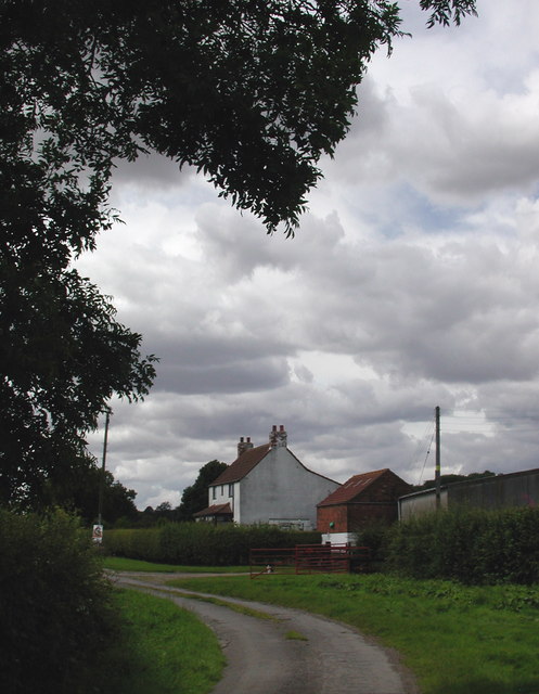
Image: © Paul Glazzard Taken: 30 Jul 2007
Haggs Farm on the north side of Haggs Lane, Willerby, just south of the parish boundary between Kirk Ella and Cottingham.
Images are licensed for reuse under creativecommons.org/licenses/by-sa/2.0
Image Location
Latitude
53.766829
Longitude
-0.43476