Cross-field footpath
Introduction
The photograph on this page of Cross-field footpath by Hugh Craddock as part of the Geograph project.
The Geograph project started in 2005 with the aim of publishing, organising and preserving representative images for every square kilometre of Great Britain, Ireland and the Isle of Man.

There are currently over 7.5m images from over 14,400 individuals and you can help contribute to the project by visiting https://www.geograph.org.uk
Cross-field footpath
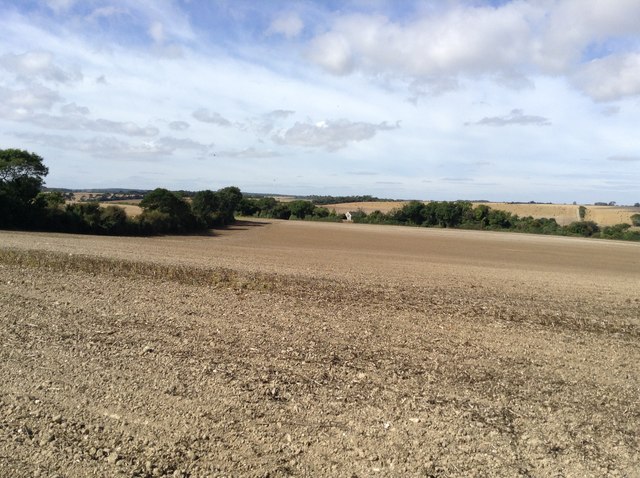
Image: © Hugh Craddock Taken: 3 Sep 2016
Cross-field footpath EE451 heads towards the Martin to Ripple road at Oaklands (formerly known as Winkland Oaks Cottages). At the time the photograph was taken, the path had been ploughed and harrowed without the line being reinstated. The footpath is the continuation of Hangman's Lane from Ringwould.
Images are licensed for reuse under creativecommons.org/licenses/by-sa/2.0
Image Location
Latitude
51.184759
Longitude
1.349596