Kilton Road, Worksop, Notts.
Introduction
The photograph on this page of Kilton Road, Worksop, Notts. by David Hallam-Jones as part of the Geograph project.
The Geograph project started in 2005 with the aim of publishing, organising and preserving representative images for every square kilometre of Great Britain, Ireland and the Isle of Man.

There are currently over 7.5m images from over 14,400 individuals and you can help contribute to the project by visiting https://www.geograph.org.uk
Kilton Road, Worksop, Notts.
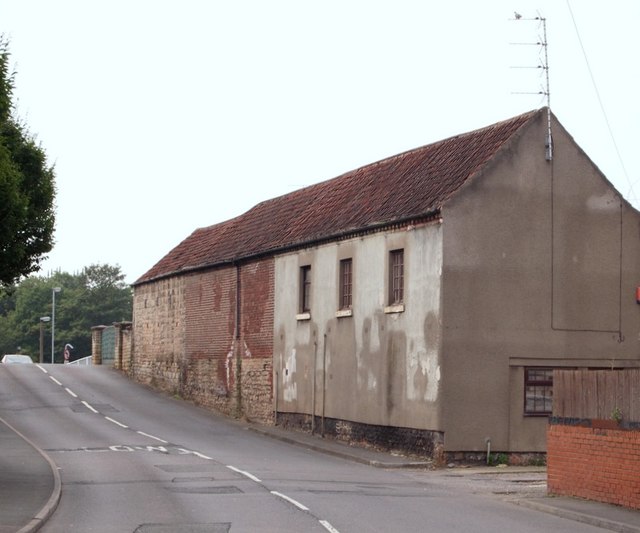
Image: © David Hallam-Jones Taken: 8 Sep 2016
Kilton Road is carried over the Chesterfield Canal by the bridge ahead. Once over this bridge the road changes its name to become Priorswell Road. Since Worksop Priory lies 4-5 mins walk further ahead, it seems likely the name Priorswell arose from the fact that this road probably led to the Priory well'?
Images are licensed for reuse under creativecommons.org/licenses/by-sa/2.0
Image Location
Latitude
53.307095
Longitude
-1.115883