20mph zone on the approach to the village school, Pucklechurch
Introduction
The photograph on this page of 20mph zone on the approach to the village school, Pucklechurch by Jaggery as part of the Geograph project.
The Geograph project started in 2005 with the aim of publishing, organising and preserving representative images for every square kilometre of Great Britain, Ireland and the Isle of Man.

There are currently over 7.5m images from over 14,400 individuals and you can help contribute to the project by visiting https://www.geograph.org.uk
20mph zone on the approach to the village school, Pucklechurch
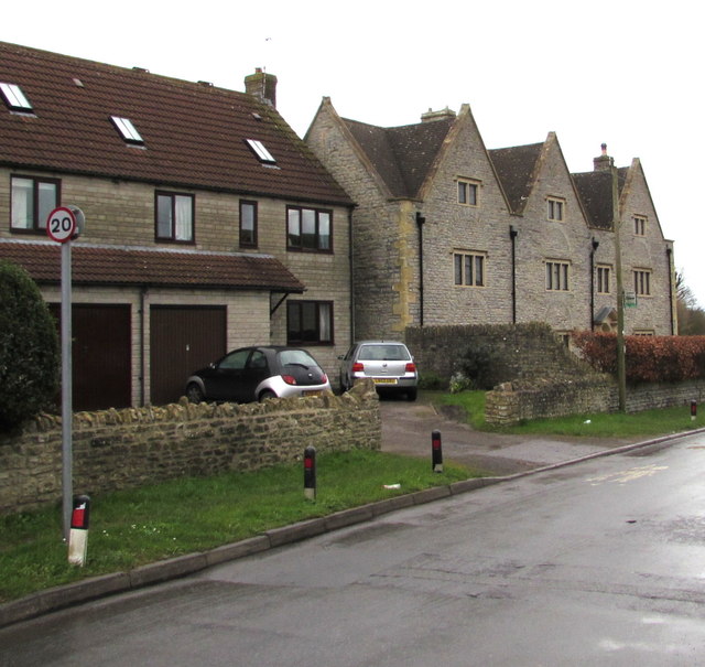
Image: © Jaggery Taken: 5 Feb 2016
The small round sign showing 20 faces Castle Road on the approach to Pucklechurch CE VC Primary School. Grade II listed Harwood Farmhouse, dating from the 17th century, is on the right.
Images are licensed for reuse under creativecommons.org/licenses/by-sa/2.0
Image Location
Latitude
51.488448
Longitude
-2.433036