Twnnel Cinnamon Grove / Cinanamon Grove Tunnel
Introduction
The photograph on this page of Twnnel Cinnamon Grove / Cinanamon Grove Tunnel by Alan Richards as part of the Geograph project.
The Geograph project started in 2005 with the aim of publishing, organising and preserving representative images for every square kilometre of Great Britain, Ireland and the Isle of Man.

There are currently over 7.5m images from over 14,400 individuals and you can help contribute to the project by visiting https://www.geograph.org.uk
Twnnel Cinnamon Grove / Cinanamon Grove Tunnel
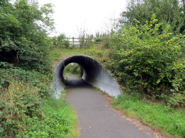
Image: © Alan Richards Taken: 7 Sep 2016
Llwybr beicio yn mynd o dan heol sy'n arwain at Ffarm Cinnamon Grove. A cycle path going under the access road to Cinnamon Grove Farm.
Images are licensed for reuse under creativecommons.org/licenses/by-sa/2.0
Image Location
Latitude
51.781439
Longitude
-5.004925