Bridleway between housing estates, Monkseaton
Introduction
The photograph on this page of Bridleway between housing estates, Monkseaton by Graham Robson as part of the Geograph project.
The Geograph project started in 2005 with the aim of publishing, organising and preserving representative images for every square kilometre of Great Britain, Ireland and the Isle of Man.

There are currently over 7.5m images from over 14,400 individuals and you can help contribute to the project by visiting https://www.geograph.org.uk
Bridleway between housing estates, Monkseaton
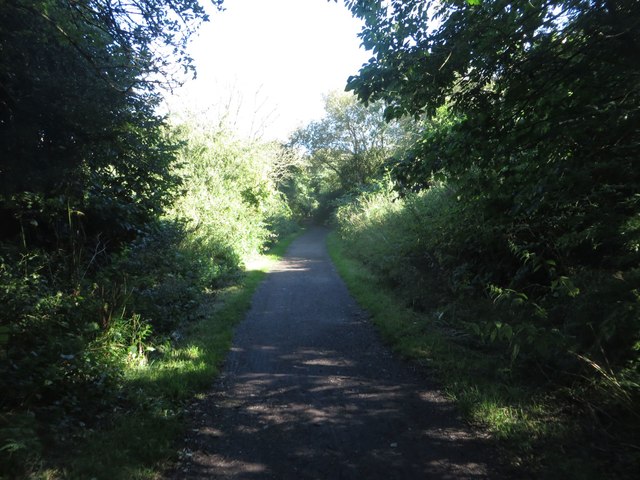
Image: © Graham Robson Taken: 29 Aug 2016
Looking along the route of a bridleway which passes along a former railway alignment between housing estates in Monkseaton.
Images are licensed for reuse under creativecommons.org/licenses/by-sa/2.0
Image Location
Latitude
55.054034
Longitude
-1.47167