Rylagh Limekiln, Rylagh
Introduction
The photograph on this page of Rylagh Limekiln, Rylagh by Kenneth Allen as part of the Geograph project.
The Geograph project started in 2005 with the aim of publishing, organising and preserving representative images for every square kilometre of Great Britain, Ireland and the Isle of Man.

There are currently over 7.5m images from over 14,400 individuals and you can help contribute to the project by visiting https://www.geograph.org.uk
Rylagh Limekiln, Rylagh
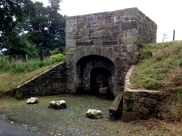
Image: © Kenneth Allen Taken: 6 Sep 2016
Pictured along Rylagh Road, it was re-furbished during the summer Note the date - 1801 There is a direction sign leading from Glenpark Road Image]
Images are licensed for reuse under creativecommons.org/licenses/by-sa/2.0
Image Location
Latitude
54.649179
Longitude
-7.28072