Path from the A48 to a pub and a hotel, Coedkernew, Newport
Introduction
The photograph on this page of Path from the A48 to a pub and a hotel, Coedkernew, Newport by Jaggery as part of the Geograph project.
The Geograph project started in 2005 with the aim of publishing, organising and preserving representative images for every square kilometre of Great Britain, Ireland and the Isle of Man.

There are currently over 7.5m images from over 14,400 individuals and you can help contribute to the project by visiting https://www.geograph.org.uk
Path from the A48 to a pub and a hotel, Coedkernew, Newport
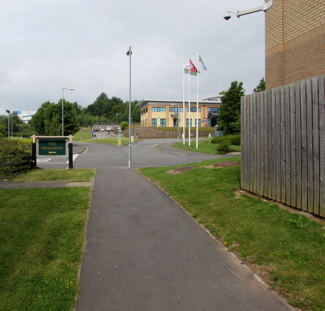
Image: © Jaggery Taken: 21 Jul 2016
Turn left ahead for the Dragonfly country pub http://www.geograph.org.uk/photo/5103770 or right for the Holiday Inn Express. http://www.geograph.org.uk/photo/5103633
Images are licensed for reuse under creativecommons.org/licenses/by-sa/2.0
Image Location
Latitude
51.55993
Longitude
-3.036118