Bridleway at West Appleton
Introduction
The photograph on this page of Bridleway at West Appleton by Gordon Hatton as part of the Geograph project.
The Geograph project started in 2005 with the aim of publishing, organising and preserving representative images for every square kilometre of Great Britain, Ireland and the Isle of Man.

There are currently over 7.5m images from over 14,400 individuals and you can help contribute to the project by visiting https://www.geograph.org.uk
Bridleway at West Appleton
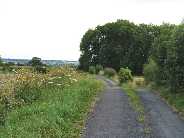
Image: © Gordon Hatton Taken: 4 Sep 2016
This is a curious route which begins at the top end of Tunstall village and emerges on the minor road by Hornby Castle. For most of the way the surface is tarmac, with different access rights along the way. This section is bridleway, but some 200m further on where the bridleway turns sharp right, the continuing lane bears a sign saying 'No public right of way', which is clearly wrong as both the OS and local authority maps show otherwise. One suspects that the whole route is an ancient one linking Tunstall with Hornby.
Images are licensed for reuse under creativecommons.org/licenses/by-sa/2.0
Image Location
Latitude
54.34676
Longitude
-1.668609