Knott End Esplanade
Introduction
The photograph on this page of Knott End Esplanade by Gerald England as part of the Geograph project.
The Geograph project started in 2005 with the aim of publishing, organising and preserving representative images for every square kilometre of Great Britain, Ireland and the Isle of Man.

There are currently over 7.5m images from over 14,400 individuals and you can help contribute to the project by visiting https://www.geograph.org.uk
Knott End Esplanade
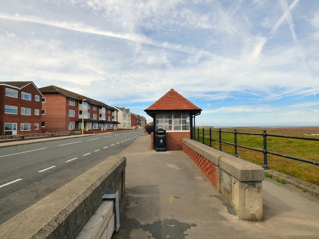
Image: © Gerald England Taken: 27 Aug 2016
This length of the B5270 is called the Esplanade. The modern houses and the shelter look out over the beach and Morecambe Bay.
Images are licensed for reuse under creativecommons.org/licenses/by-sa/2.0
Image Location
Latitude
53.928621
Longitude
-2.991244