Saltburn Community Woodland (2)
Introduction
The photograph on this page of Saltburn Community Woodland (2) by David Dixon as part of the Geograph project.
The Geograph project started in 2005 with the aim of publishing, organising and preserving representative images for every square kilometre of Great Britain, Ireland and the Isle of Man.

There are currently over 7.5m images from over 14,400 individuals and you can help contribute to the project by visiting https://www.geograph.org.uk
Saltburn Community Woodland (2)
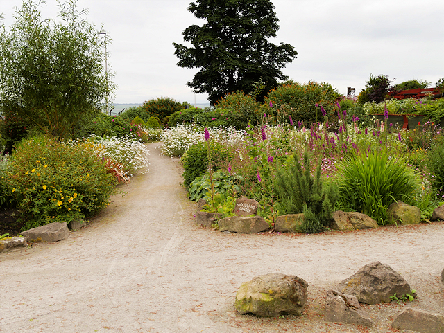
Image: © David Dixon Taken: 9 Jul 2016
Over a period of five years, a four-hectare of wasteland has been transformed into a community woodland, peaceful haven where people can walk, appreciate the environment and watch the wildlife. Almost a mile of all-abilities paths have been constructed, picnic tables and seats have been installed and a viewpoint with a bench has been created overlooking the Cromarty Firth http://www.north-star-news.co.uk/News/Woodland-gets-new-lease-of-life-4197.htm (North Star).
Images are licensed for reuse under creativecommons.org/licenses/by-sa/2.0
Image Location
Latitude
57.69617
Longitude
-4.147464