SE corner of flood relief basin showing outlet to Bushby Brook
Introduction
The photograph on this page of SE corner of flood relief basin showing outlet to Bushby Brook by Andrew Tatlow as part of the Geograph project.
The Geograph project started in 2005 with the aim of publishing, organising and preserving representative images for every square kilometre of Great Britain, Ireland and the Isle of Man.

There are currently over 7.5m images from over 14,400 individuals and you can help contribute to the project by visiting https://www.geograph.org.uk
SE corner of flood relief basin showing outlet to Bushby Brook
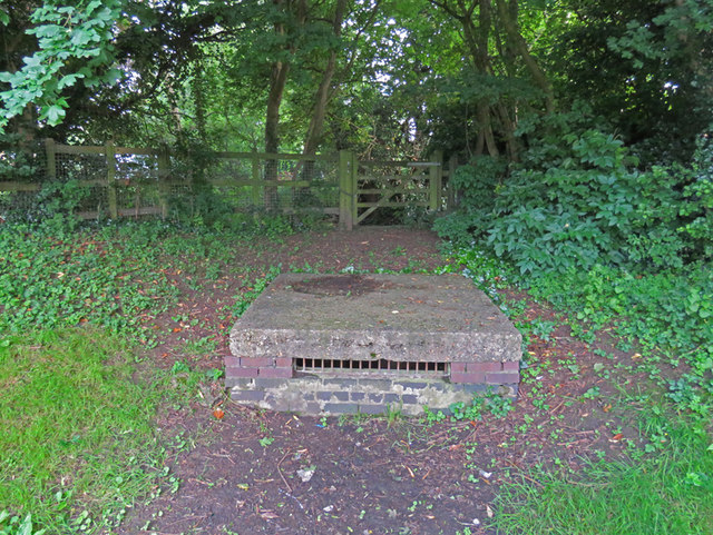
Image: © Andrew Tatlow Taken: 27 Jun 2016
The flood relief basin is surrounded by an embankment and collects water drained from Pulford Drive which then can flow through an overflow pipe into Bushby Brook.
Images are licensed for reuse under creativecommons.org/licenses/by-sa/2.0
Image Location
Latitude
52.637618
Longitude
-1.042694