Ruddings Lane, Cowesby
Introduction
The photograph on this page of Ruddings Lane, Cowesby by Richard Webb as part of the Geograph project.
The Geograph project started in 2005 with the aim of publishing, organising and preserving representative images for every square kilometre of Great Britain, Ireland and the Isle of Man.

There are currently over 7.5m images from over 14,400 individuals and you can help contribute to the project by visiting https://www.geograph.org.uk
Ruddings Lane, Cowesby
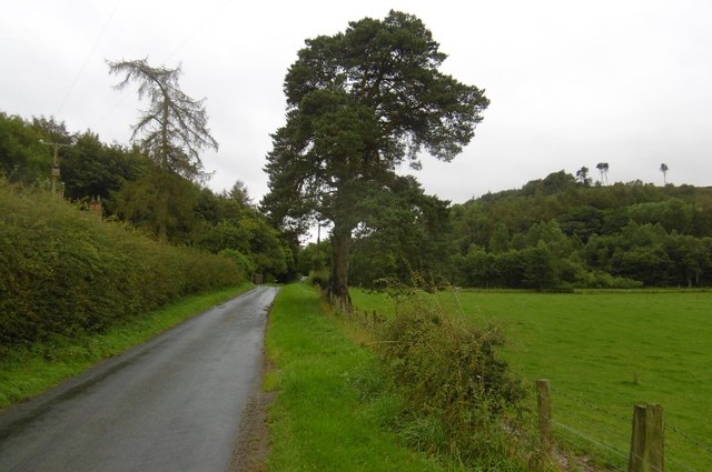
Image: © Richard Webb Taken: 11 Aug 2016
The road climbs gently to a pass between the main North York Moors upland and Far Hill (right).
Images are licensed for reuse under creativecommons.org/licenses/by-sa/2.0
Image Location
Latitude
54.292418
Longitude
-1.282659