Long Lane
Introduction
The photograph on this page of Long Lane by Garry Lavender-Rimmer as part of the Geograph project.
The Geograph project started in 2005 with the aim of publishing, organising and preserving representative images for every square kilometre of Great Britain, Ireland and the Isle of Man.

There are currently over 7.5m images from over 14,400 individuals and you can help contribute to the project by visiting https://www.geograph.org.uk
Long Lane
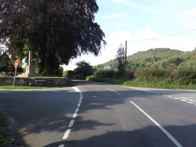
Image: © Garry Lavender-Rimmer Taken: 30 Aug 2016
View of Long Lane heading towards the nearby A534. The lane to the West (right hand) is Goldford Lane and the lane to the East is Brunty Bank. Brunty bank is part of the Sandstone Trail.
Images are licensed for reuse under creativecommons.org/licenses/by-sa/2.0
Image Location


Leaflet Map data © OpenStreetMap
Latitude
53.077098
Longitude
-2.732731