Wheat field beyond Milbanke Close
Introduction
The photograph on this page of Wheat field beyond Milbanke Close by Trevor Littlewood as part of the Geograph project.
The Geograph project started in 2005 with the aim of publishing, organising and preserving representative images for every square kilometre of Great Britain, Ireland and the Isle of Man.

There are currently over 7.5m images from over 14,400 individuals and you can help contribute to the project by visiting https://www.geograph.org.uk
Wheat field beyond Milbanke Close
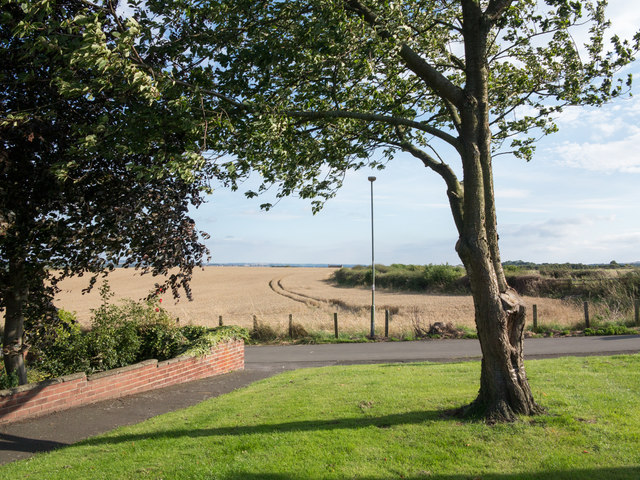
Image: © Trevor Littlewood Taken: 30 Aug 2016
Milbanke Close is the road crossing beyond the tree. The view is from the edge of a modern housing estate in Ouston, at a corner of Byron Close.
Images are licensed for reuse under creativecommons.org/licenses/by-sa/2.0
Image Location
Latitude
54.881249
Longitude
-1.59457