Rock Close, Carterton, Oxon
Introduction
The photograph on this page of Rock Close, Carterton, Oxon by P L Chadwick as part of the Geograph project.
The Geograph project started in 2005 with the aim of publishing, organising and preserving representative images for every square kilometre of Great Britain, Ireland and the Isle of Man.

There are currently over 7.5m images from over 14,400 individuals and you can help contribute to the project by visiting https://www.geograph.org.uk
Rock Close, Carterton, Oxon
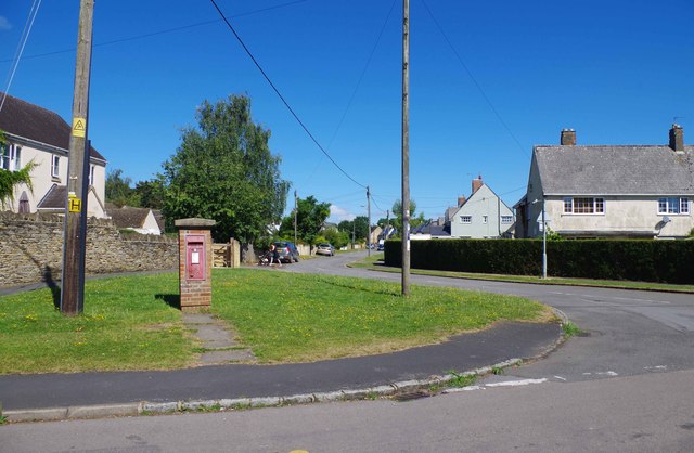
Image: © P L Chadwick Taken: 6 Aug 2016
Rock Close, a residential road, is not really a close as it is a through road connecting Arkell Avenue with Rock Road. The unusual postbox can be seen in close-up here:- Image
Images are licensed for reuse under creativecommons.org/licenses/by-sa/2.0
Image Location
Latitude
51.760464
Longitude
-1.599914