House on Church Close, Totnes
Introduction
The photograph on this page of House on Church Close, Totnes by Derek Harper as part of the Geograph project.
The Geograph project started in 2005 with the aim of publishing, organising and preserving representative images for every square kilometre of Great Britain, Ireland and the Isle of Man.

There are currently over 7.5m images from over 14,400 individuals and you can help contribute to the project by visiting https://www.geograph.org.uk
House on Church Close, Totnes
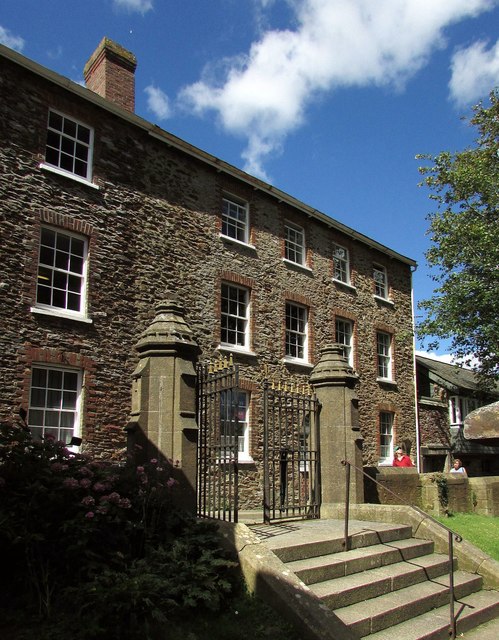
Image: © Derek Harper Taken: 26 Aug 2016
Seen from the churchyard of St Mary's. The building is described at https://www.historicengland.org.uk/listing/the-list/list-entry/1325398 . In the foreground are part of the churchyard walls and a pair of gate piers which are listed and described at https://www.historicengland.org.uk/listing/the-list/list-entry/1236066 .
Images are licensed for reuse under creativecommons.org/licenses/by-sa/2.0
Image Location


Leaflet Map data © OpenStreetMap
Latitude
50.431912
Longitude
-3.68827